

Cascavel
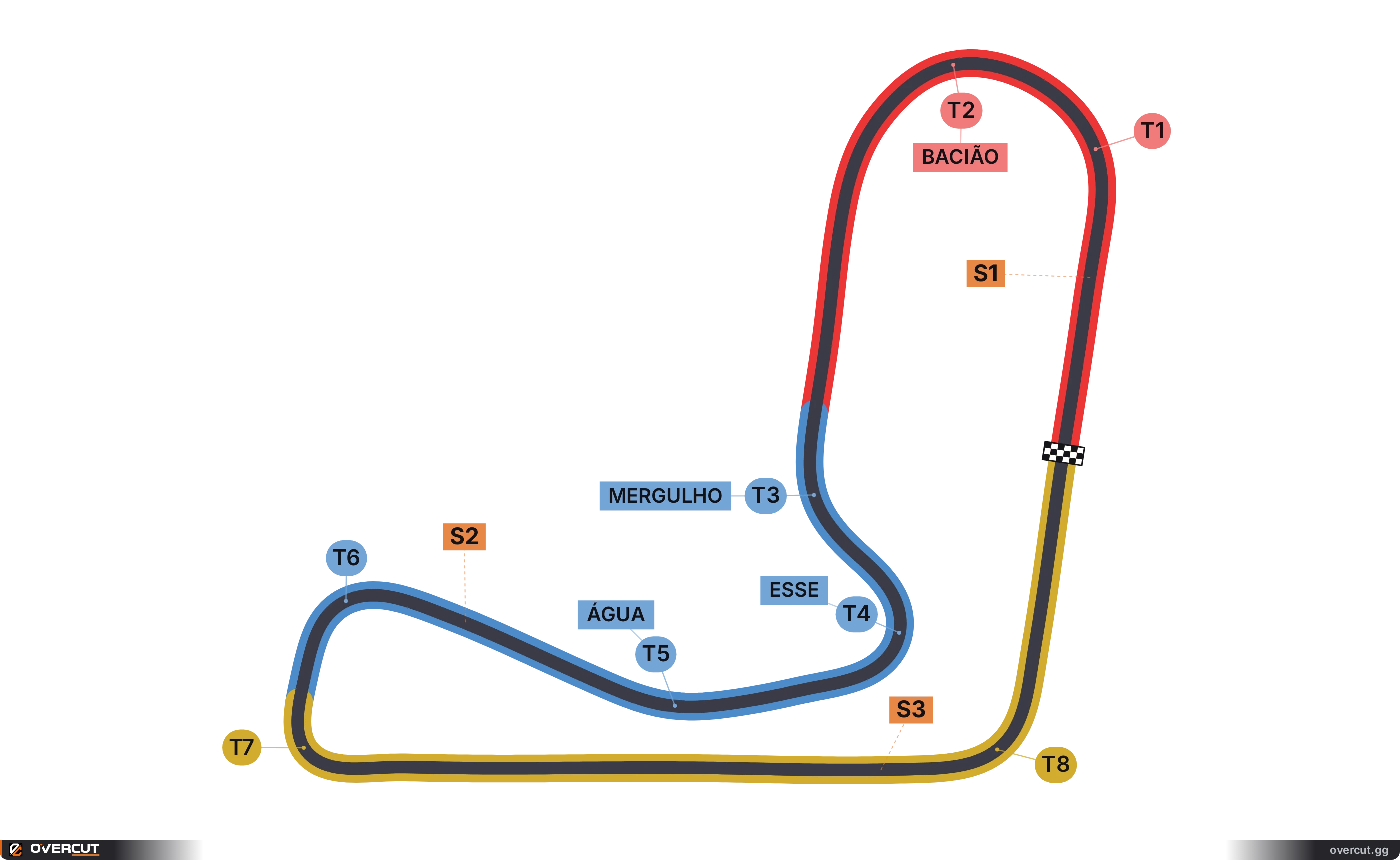
Cascavel, Paraná, Brazil · 3.023 km · 8 corners
Elevation profile
Length3.023 km
Corners8
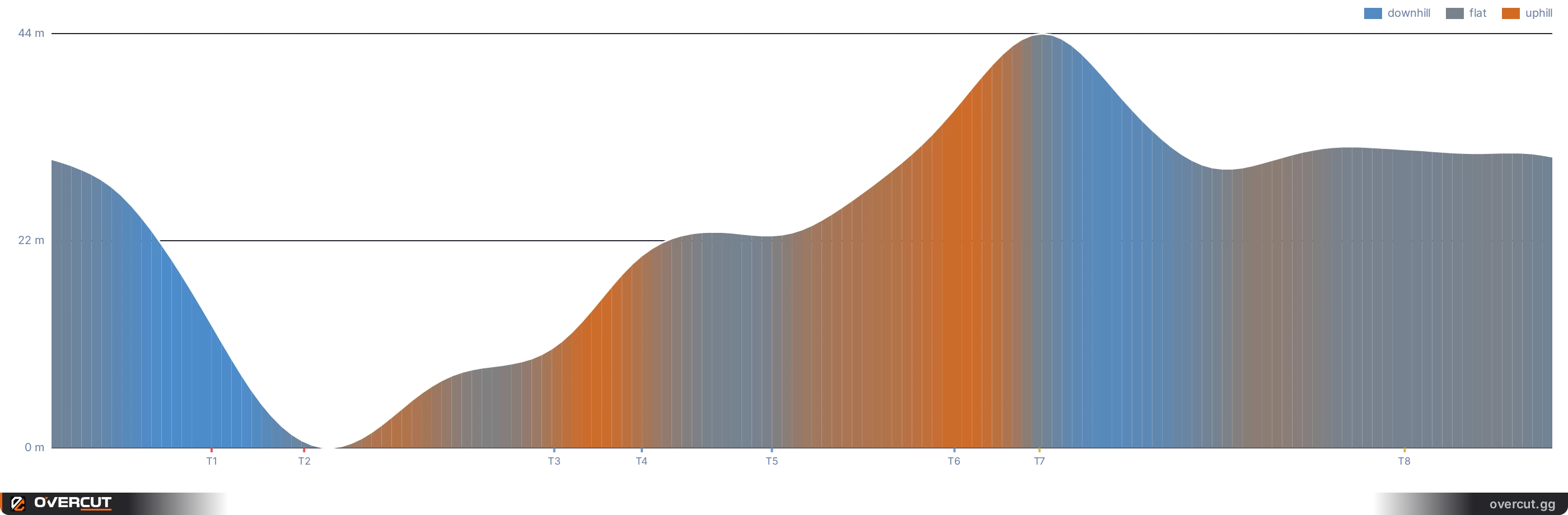
Relief44 m
Width12 to 13 mmean 12 m
Altitude725 to 773 mabove sea level
Lap directionanticlockwise
Longest straight590 mbetween T7 → T8
Cascavel runs 3.022 km over 8 corners, 6 left and 2 right, driven anticlockwise.
It rises and falls 44.0 m, 2.6x the relief of Monza. The steepest climb reaches 6.4% and the steepest drop 9.1%.
The longest straight is 590 m, between T7 and T8.
The track is 11.9 to 12.5 m wide, and its longest corner is Bacião, 183 m of tarmac from entry to exit.
The sector lines fall at 917 m and 1,924 m, not at thirds of the lap.
Corner by corner
| Corner | Name | Direction | Entry | Apex | Exit | Sector |
|---|---|---|---|---|---|---|
| T1 | left | 283 m | 320 m | 413 m | S1 | |
| T2 | Bacião | left | 413 m | 505 m | 595 m | S1 |
| T3 | Mergulho | left | 940 m | 1005 m | 1070 m | S2 |
| T4 | Esse | right | 1095 m | 1180 m | 1270 m | S2 |
| T5 | Água | right | 1390 m | 1440 m | 1490 m | S2 |
| T6 | left | 1720 m | 1805 m | 1885 m | S2 | |
| T7 | left | 1900 m | 1975 m | 2040 m | S3 | |
| T8 | left | 2630 m | 2705 m | 2780 m | S3 |
Which simulators ship this circuit

More race tracks in Brazil
 CuritibaPinhais, Paraná, Brazil3.677 km · 15 corners · 5.9 m of reliefhistoric · 2021
 LondrinaLondrina, Paraná, Brazil3.043 km · 10 corners · 23 m of relief
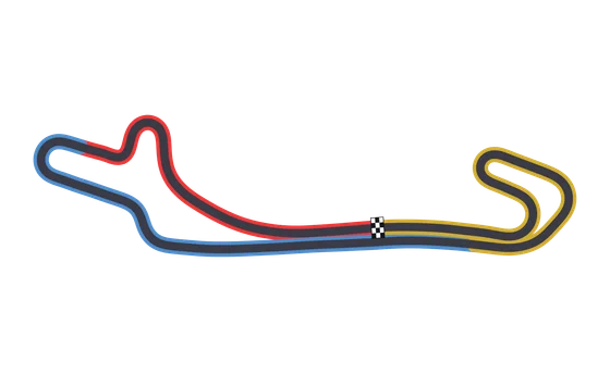 Londrina (circuito longo)Londrina, Paraná, Brazil3.164 km · 10 corners · 23.6 m of relief
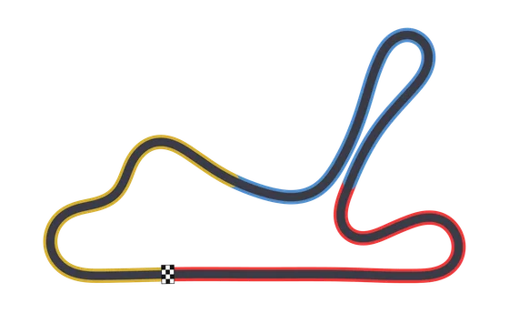 GuaporéGuaporé, Rio Grande do Sul, Brazil3.067 km · 8 corners · 4.8 m of relief
Overcut reads your sim telemetry and shows it in the browser, on any screen.Simulators shipping this circuit: Automobilista 2.Data reconstructed by Overcut. Sources