

Jacarepaguá
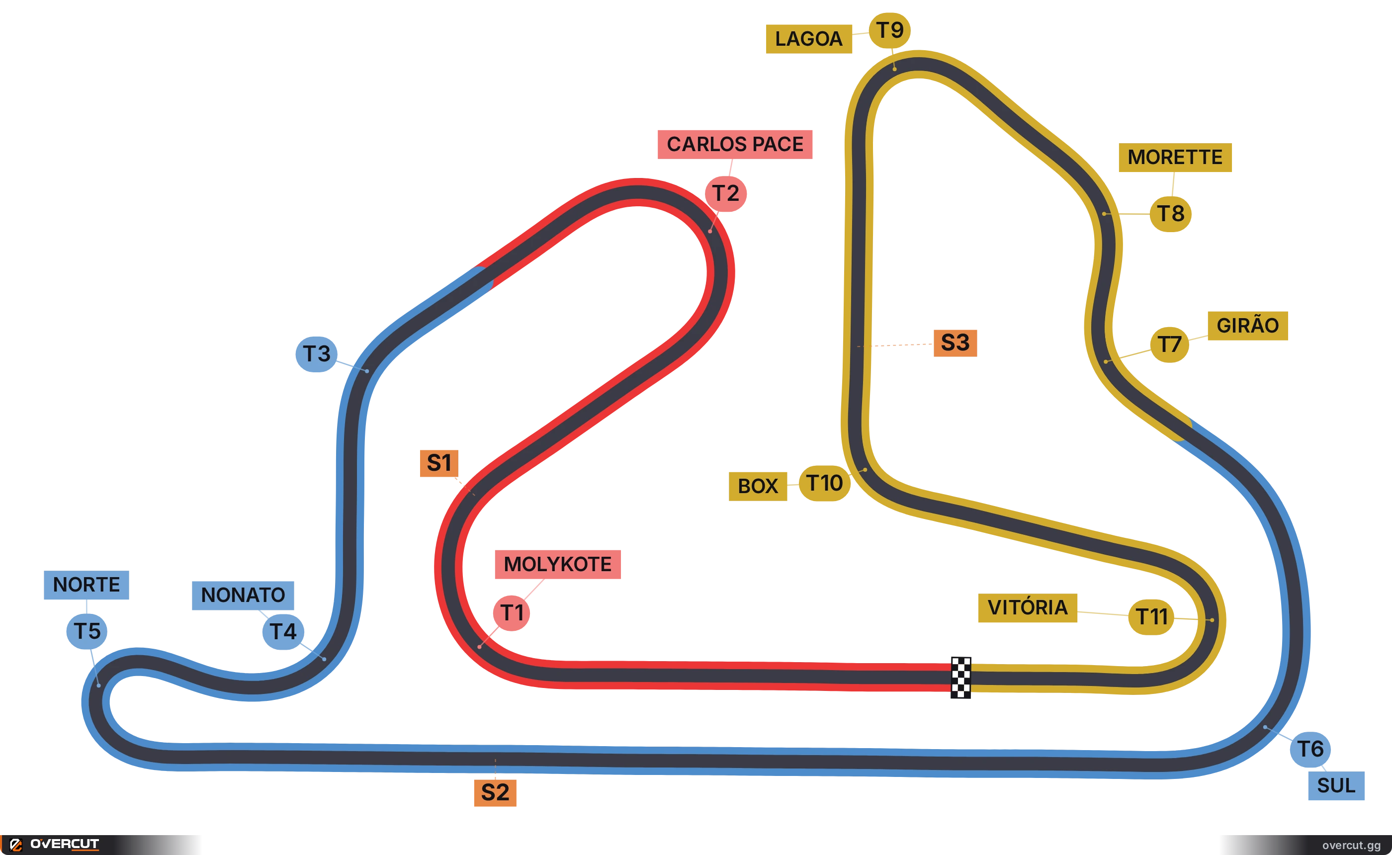
Rio de Janeiro, Brazil · 4.989 km · 11 corners
This circuit was demolished in 2012. The map records the layout as it was.
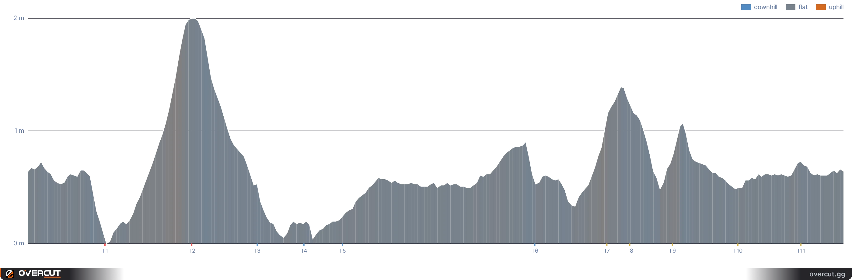
Elevation profile
Length4.989 km
Corners11
Relief1.8 m
Width12 mmean 12 m
Altitude2 to 18 mabove sea level
Longest straight998 mbetween Norte → Sul
Jacarepaguá runs 4.989 km over 11 corners, 7 left and 4 right.
It rises and falls 1.8 m, 0.1x the relief of Monza. The steepest climb reaches 0.8% and the steepest drop 0.8%.
The longest straight is 998 m, between Norte and Sul.
The track is 11.9 to 12.1 m wide, and its longest corner is Carlos Pace, 300 m of tarmac from entry to exit.
The sector lines fall at 1,257 m and 3,438 m, not at thirds of the lap.
Corner by corner
| Corner | Name | Direction | Entry | Apex | Exit | Sector |
|---|---|---|---|---|---|---|
| T1 | Molykote | right | 385 m | 470 m | 670 m | S1 |
| T2 | Carlos Pace | left | 855 m | 1000 m | 1155 m | S1 |
| T3 | left | 1340 m | 1400 m | 1465 m | S2 | |
| T4 | Nonato | right | 1600 m | 1685 m | 1810 m | S2 |
| T5 | Norte | left | 1835 m | 1920 m | 2045 m | S2 |
| T6 | Sul | left | 3043 m | 3095 m | 3210 m | S2 |
| T7 | Girão | right | 3470 m | 3535 m | 3595 m | S3 |
| T8 | Morette | left | 3620 m | 3675 m | 3745 m | S3 |
| T9 | Lagoa | left | 3840 m | 3935 m | 4025 m | S3 |
| T10 | Box | left | 4275 m | 4335 m | 4405 m | S3 |
| T11 | Vitória | right | 4615 m | 4720 m | 4835 m | S3 |
Which simulators ship this circuit

More race tracks in Brazil
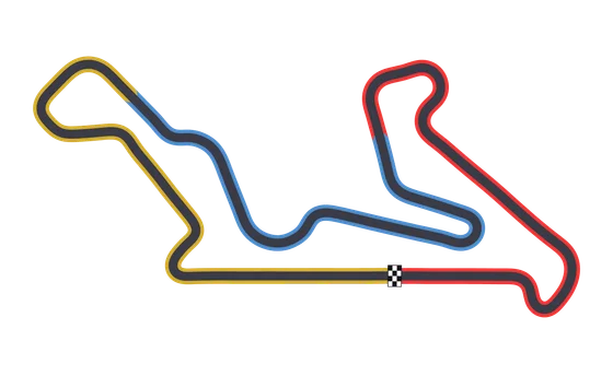 CurveloCurvelo, Minas Gerais, Brazil4.384 km · 18 corners · 30.5 m of relief
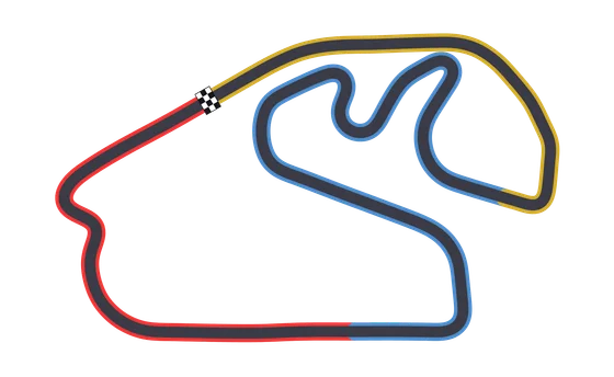 InterlagosSão Paulo, Brazil4.295 km · 15 corners · 43 m of relief
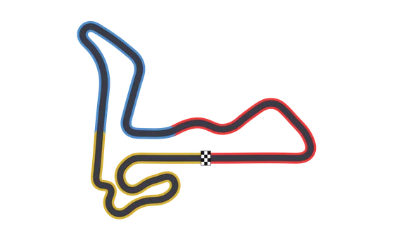 VelocittaMogi Guaçu, São Paulo, Brazil3.340 km · 14 corners · 50 m of relief
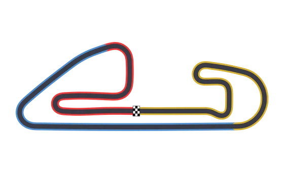 Campo GrandeCampo Grande, Mato Grosso do Sul, Brazil3.500 km · 10 corners · 6.9 m of relief
Overcut reads your sim telemetry and shows it in the browser, on any screen.Simulators shipping this circuit: Automobilista 2.Data reconstructed by Overcut. Sources